Analyze geospatial GML or vector data, even making charts, with OpenJUMP Plus
OpenJUMP Plus is a free GIS, a powerful program you can use to work with geospatial data, creating charts and oneway, bivariate or univariate analyses.
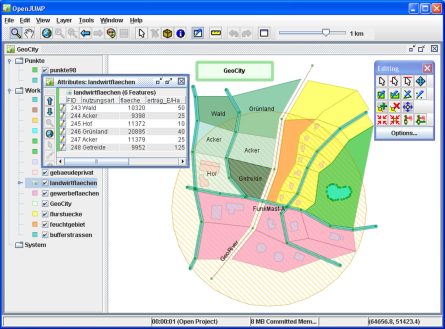
The program’s interface won’t confuse you, it is simple and convenient, although not modern.
It’s not just a viewer but it’s able to edit attribute data, perform analyses, make queries, generate triangulations, etc.
OpenJUMP Plus will handle difficult tasks involving multiple layers, edit GML files or other vectors, write to postgis. It supports WMS and WFS and it can export in SVG.